There’s a secret place in AmberGlen—so secret that it’s not even on the map! Google maps shows it as a dull gray area near Bronson Creek:

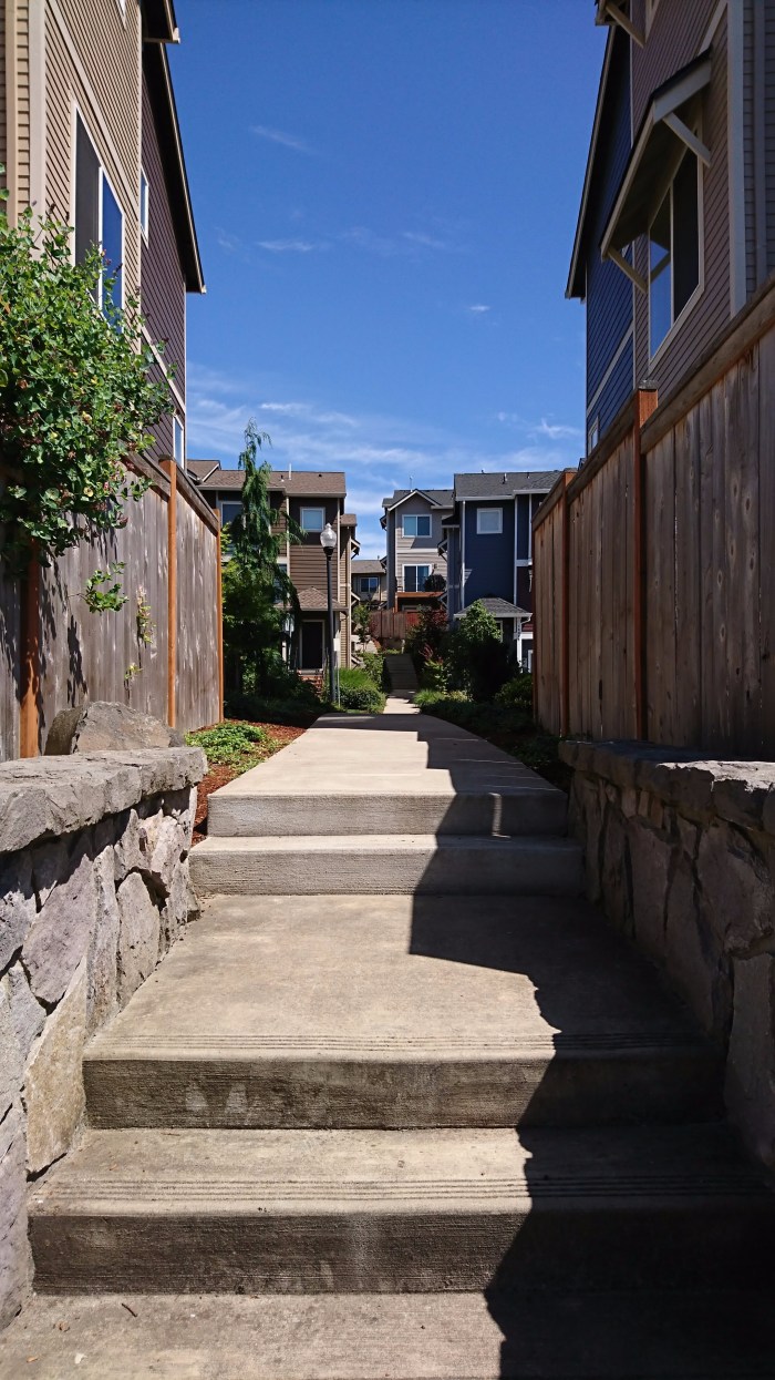
But if you fly over this area on a spy plane (or switch to the satellite view on Google maps), you will see that this place is not that dull. It appears to be a park with a zigzag path leading to it:
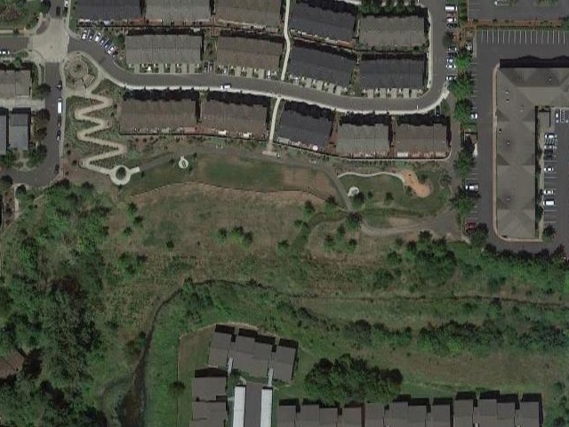
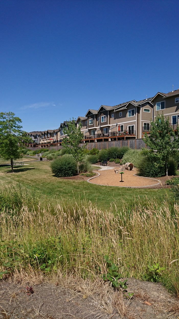
At this point, there are so many unanswered questions. Why is this park not on the map? What’s the point of the zigzag path? What is the government trying to hide? Bravely, I went on a mission to investigate.
The secret park turned out to be Magnolia Meadows Park. I took some pictures that answered at least some of the hard-hitting questions.